Help for Geographic Corrections Module
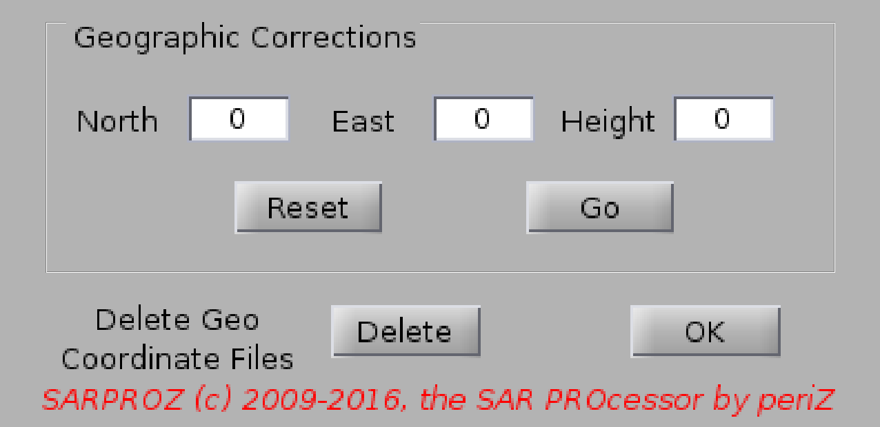
You can use this module as a final refinement of geographic coordinates in case the geolocation of the exported targets is not precise enough.
You can move the cloud of points eastward or northward with positive shift values, in the opposite direction with negative values.
Values are in meters.
You can also apply a rigid shift on the output height. Be aware: here a height shift has no effects on the geographic coordinates.
Moreover, the height shift is applied only on sparse exported data (csv, kml, tsobjects).
Finally, you can use this module to delete the geographic coordinates files in case of errors/data inconsistencies.
Geographic coordinates will be automatically re-estimated and saved at the time of need.