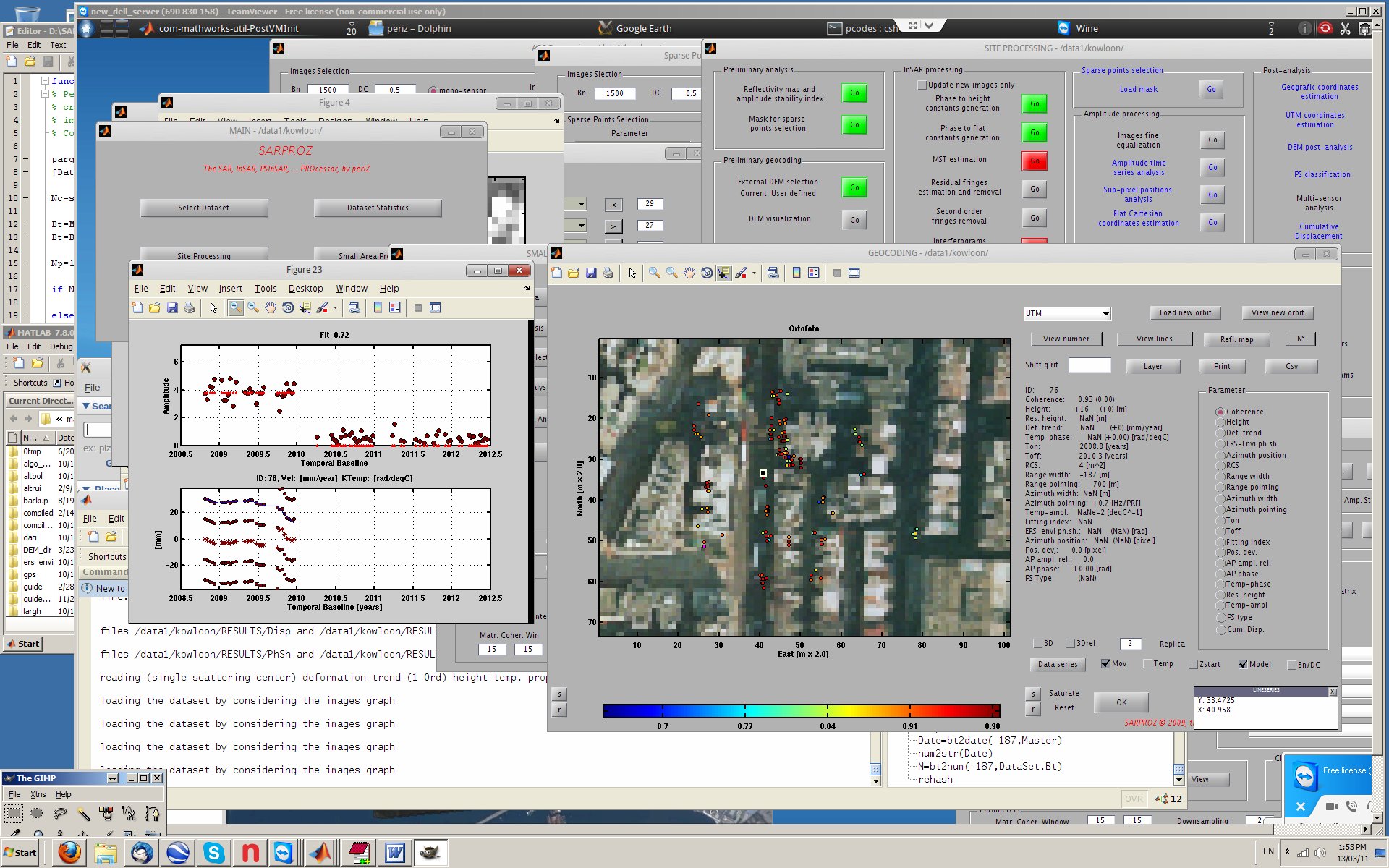
Example of data investigation through the Small Area Processing Module
Auxiliary Features of Sarproz
- Results/Data visualization and analysis
- Histograms generation with any of the data/results processed by the software, for any selection of pixels.
- Plots generation in 2D, 3D, with colors or densities with any of the data/results processed by the software, for any selection of pixels.
- Images generation with any of the data/results processed by the software.
- Results/Data exportation in three main forms:
- Geocoded raster images in different formats.
- Geocoded point-information, in 2D or 3D, with detailed information for each point (for GIS or Google Earth).
- Hierarchical kmz files for a very efficient visualization in Google Earth.
- Small area analysis with a threefold purpose:
- Test processing of any of the techniques previously listed to quickly check the best approach (that depends on available data, area to analyze, aim of the estimate).
- Browsing of final results on georeferenced optical layers, with possibility of displaying in colors any processing results and selecting point targets for characteristics listing and time series plotting.
- Training of neophytes’: new users can learn SAR, InSAR, PSI thanks to the full-featured analysis over a small area through a step-by-step processing path.
Back to the Sarproz brochure Next to Sensors and Imaging Modes